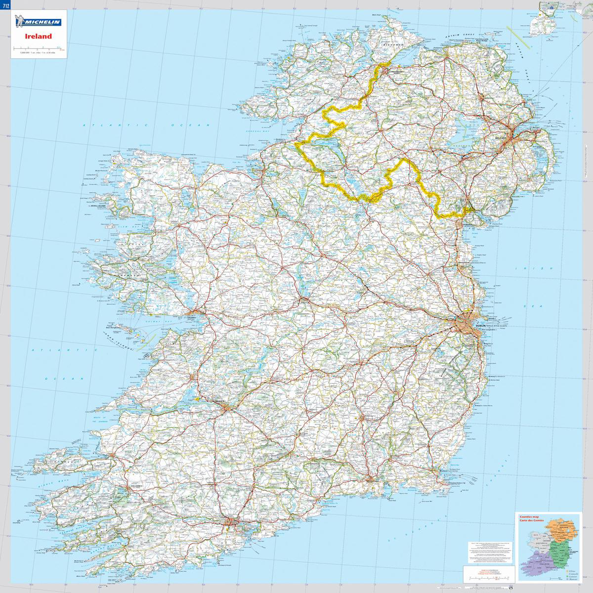
Michelin Ireland wall map will give an overview of Irish cities, administrative boundaries, as well as primary and secondary road networks at a glance.This laminated map, suitable to use with…
 100% Secure Payment & Data Safety
 Global Delivery & Fast Dispatch
 30 Days Free Return & Exchange
Michelin Ireland wall map will give an overview of Irish cities, administrative boundaries, as well as primary and secondary road networks at a glance.This laminated map, suitable to use with marker pens, is presented on a scale 1/400,000 and measures 88 x 100 cm.Our maps are regularly updated even if the ISBN does not change.(Edition updated in 2018)
We offer fast and reliable shipping worldwide. All orders are carefully packaged and shipped within 1–3 business days after payment confirmation.
Standard shipping, expedited shipping and express delivery options are available at checkout. Delivery time depends on your destination country and local logistics.
Only logged in customers who have purchased this product may leave a review.
Add Related products to weekly line up
Special Ofers For Subscribers